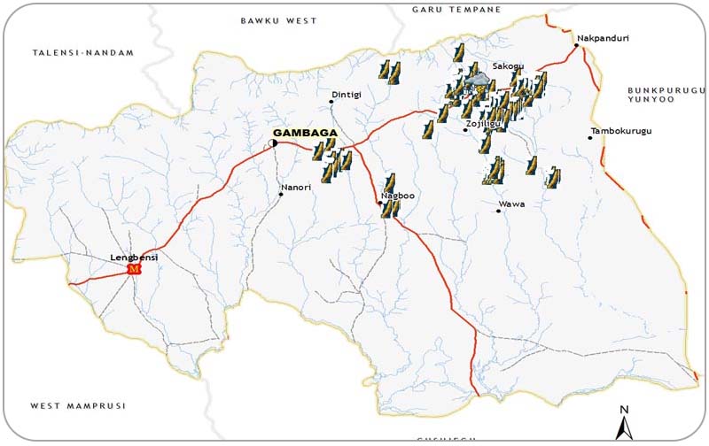
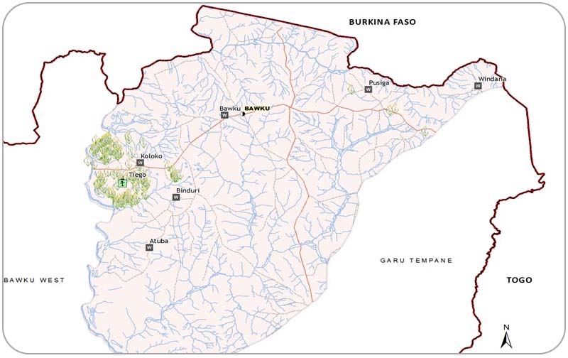
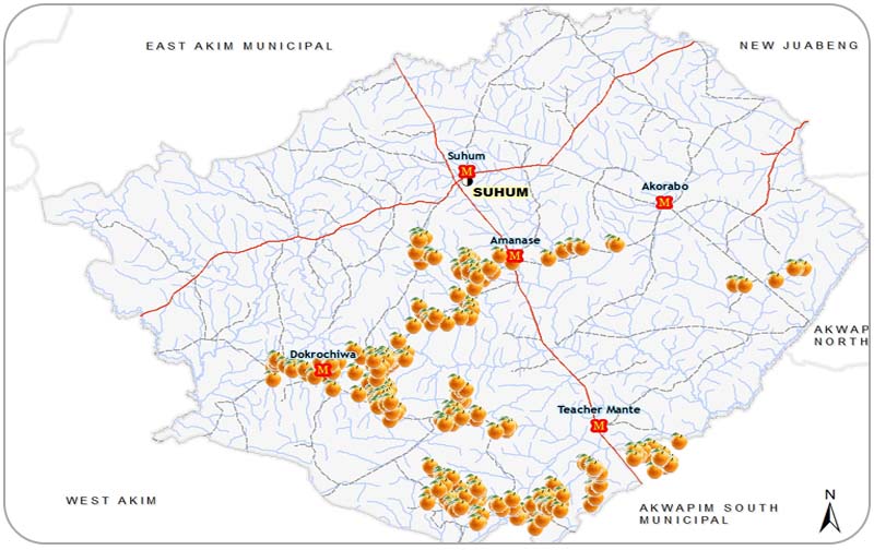
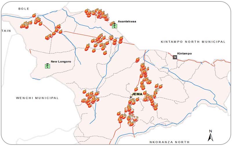
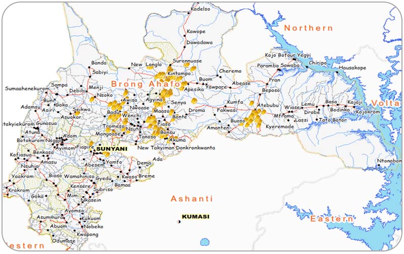
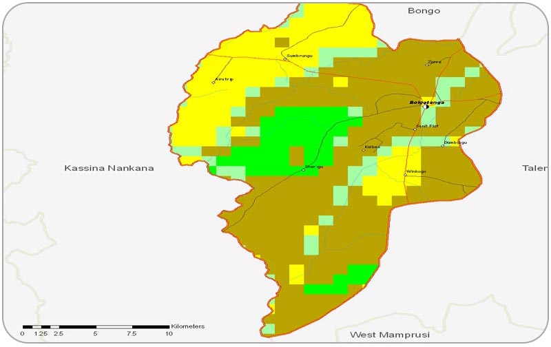
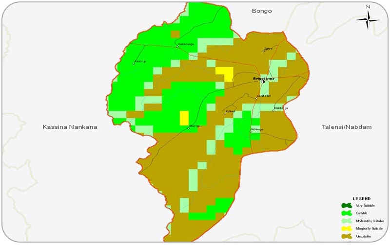
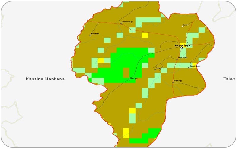
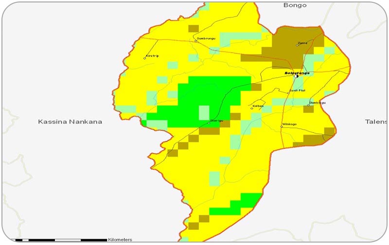
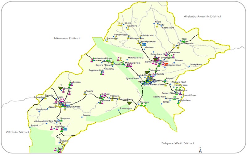
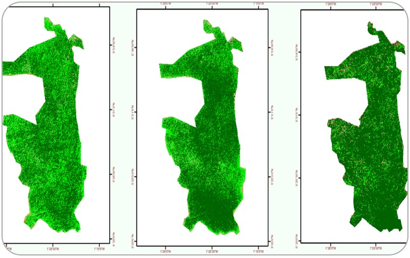
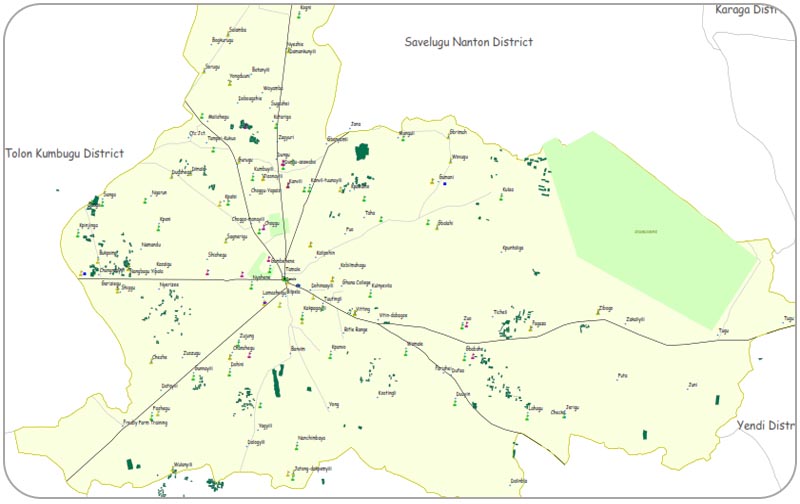
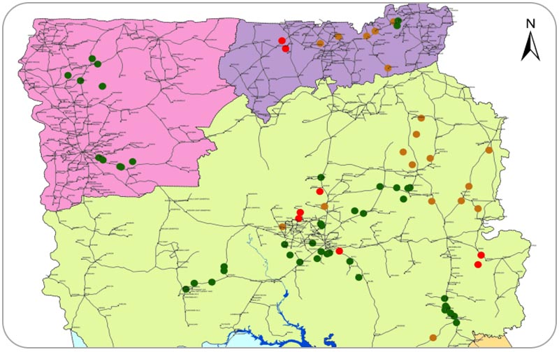
This page features maps of development projects and activities in Ghana. These maps were produced by CERSGIS for clients using the data we have on this portal. You may place a request for spatial data or maps for your project using our Request Form and our GIS team will be more than glad to respond to your request. You may also visit CERSGIS website to browse through the various GIS and Remote Sensing products and services they render to both private and public entities.


