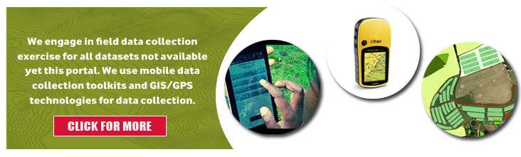
We have spatial data for agriculture and other related services in Ghana which are made available for free on this paltfrom or upon request. This includes that is made available on the interactive mapping toll and the agric statistics page.
Currently, the agriculture data in pdf as maps are absolutely free. Subsequent updates will include shapefiles, the ESRI native format, depicted as polygons or points with DBF files. Accompanying each data is the metadata with detailed information on the data currency, sources and other details (see metadata document on tab in data layers panel left).
All contributing subscribers can login with their details to have complete access to download datasetsin CSV or ESRI shapefile format.
* Note: All data requests for use in commercial activities or purposes or similar activities cannot be granted for free. Please complete the data Usage Agreement Form and attach purpose of the data request for us to process your request and to indicate whether a nominal fee for the request is applicable or not.